With the recent week of snow on the peaks across the Uk I decided to get away to get amongst the snow, well that was the plan. My goal was to wild camp in the lee of Fan Fawr in Brecon by the ‘pile of stones” at 954216 which sits at the top of the valley that feeds the Ystradfellte reservoir .

The route started at Ystradfellte car park were my car was left, for reference there is a small pub near the car park. I started the hike at around midday as I travelled up on the Saturday morning so was conscious of losing light at 17:00hrs so had to get a shuffle on.
I followed the small B road towards the junction and took the turn to pick up a the right of way track to the small farm at Pen-Fathor. On the right of way the aim to was to pass through this area to pick up a track to ystradfellte reservoir. On the route I was confronted by the farmers who insisted the path ahead was a private road then the father n Son became quite aggressive when I argued the point that the route was a public right of way and all I wanted to was pass through peacefully onto the mountain. In the end I had to concede and turn around as they both became quite aggressive. 
My route took a deviation and I hit the Ystradfellte reservoir form the other side of the valley.

The deviation was easy enough but the track isn’t particular well defined. The aim was get to the small bridge crossing the stream then pick up the maintenance track to the Ystradfellte reservoir. Using the river as a hand rail is the easiest approach. The path to the river is via the ruins of a old farm were the bridge is found.
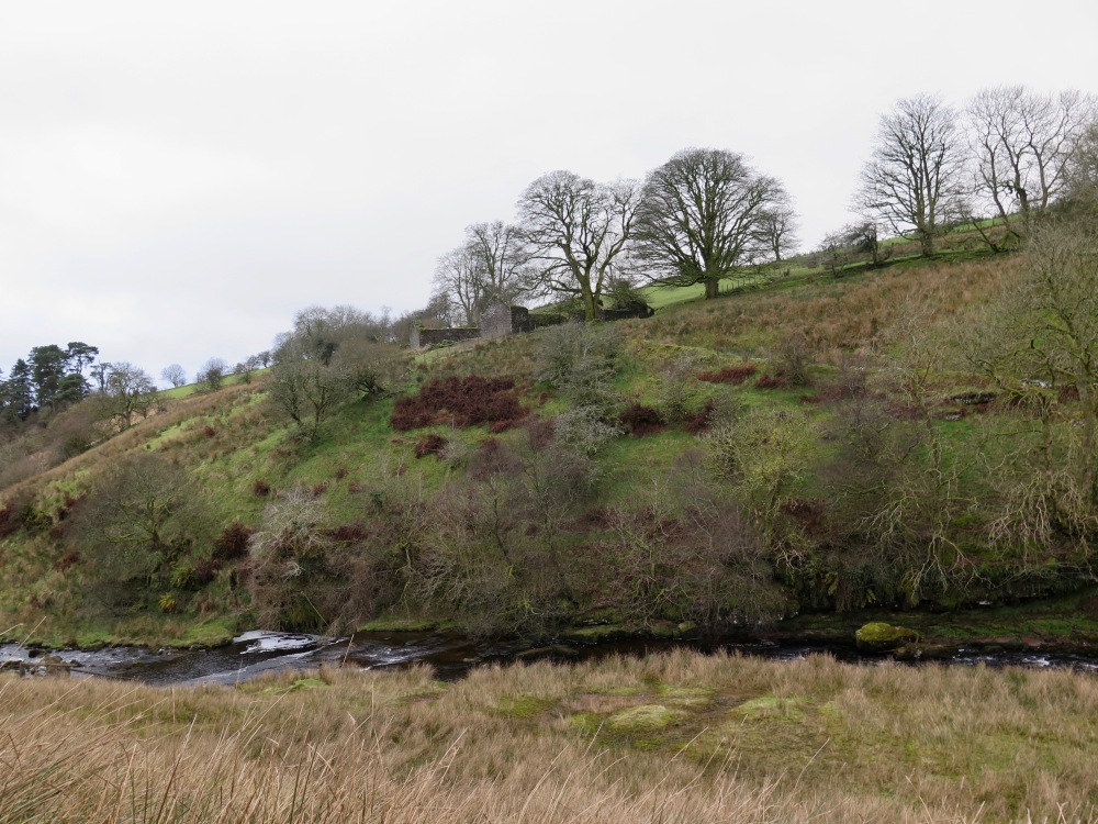

Once on the track the reservoir is hit quite quickly were the accent to Fan Fawr was made.


As far as I’m aware there is no track from the reservoir to the Fan Fawr’s summit, so it was a case of dead reckoning into the mist to the summit.

The visibility above 500 meters was shrouded in cloud and once at that hight that was the setting for the rest of the day until I returned and descended below 500 meters. As you can see, the wall of cloud!

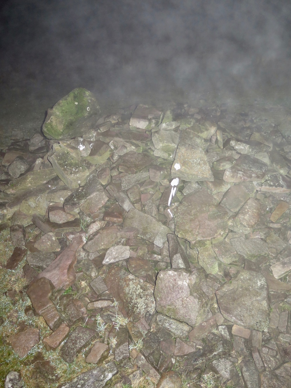
Fan Fawr was eventually hit, well the Trg point, the actual summit is slightly ahead of the Trg point.


The ground was frozen in patches and the snow was…no were to be seen!
From the Trg point I adjusted my route to cross the valley wall above the tributaries to the ‘pile of stones’ check point. The wind now picked up and the cloud was wet and muggy.

The going was tough now, the light (what there was of it) was going as the sun set. Visibility was a few feet so again it was ‘nav’ on the compass and GPS. The ground on this section was sodden and wet. I used this as an opportunity to practice my compass work and used the GPS to back me up which was good as it corrected me a few times when I deviated off route. Following a bearing in the dark is skill I’ve not used for a while. After ploughing through the wet darkness, crossing streams and negotiating bogs in the dark I hit the ‘pile of stones’ for 17:30.
Yep, thats a ‘pile of stones’
I did plan to camp at the ‘pile of stones’ but instead decided to get off the exposed summit, so I trogged on for another hour in the dark and bog and set camp at about 560 meters on a section of the ‘Brecon way’. There was a relatively flat patch of ground were I could hear the bubble of a teeny weeny stream, a dribble in fact and set the trusty ‘Soulo’ up for the night. The small trickle of water provided me with my nights water supply which was boiled for use to prepare my meals.

After a mild night I awoke to the mist and same visibility as the day before. The route ahead was to follow the ‘Brecon way’ over Fan Dringarth and then onto Fan Lila and back to the car park at ystradfellte.
The going was easy, navigation was difficult but the GPS cut through the cloud to guide me back.
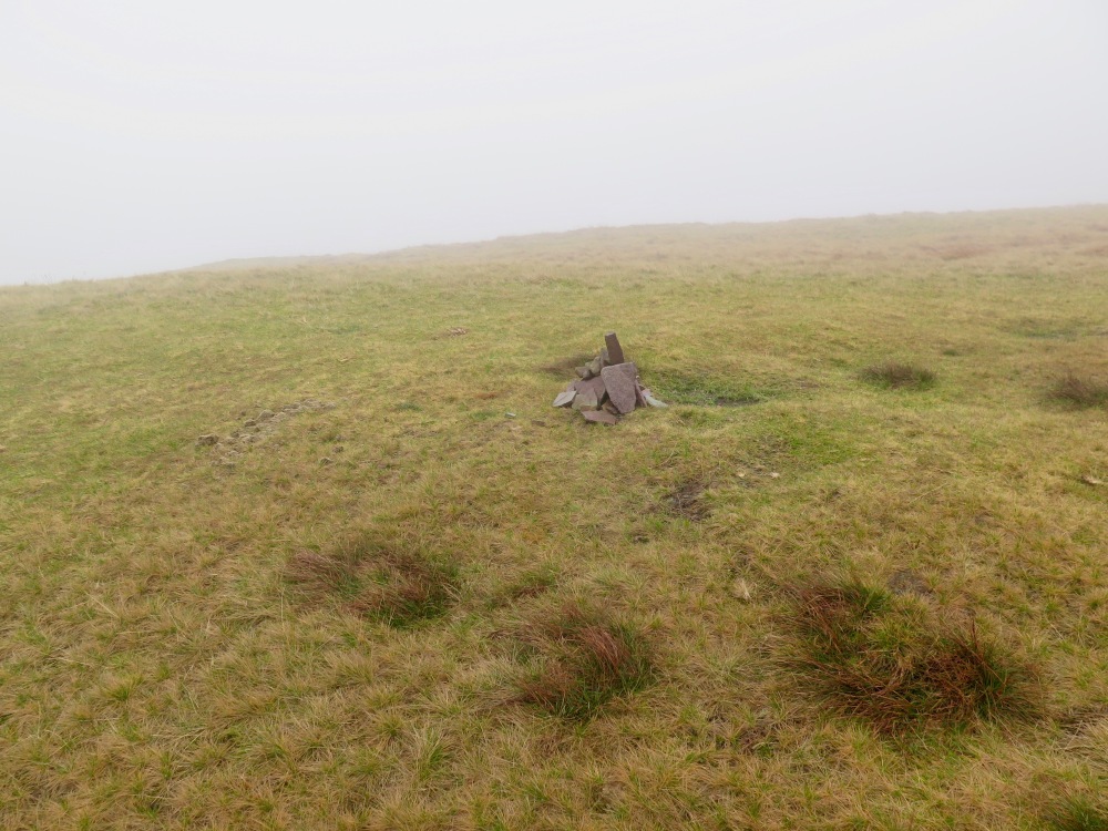
Fan Lila’s summit was a bit limp:
There is a more impressive Cairn a few hundred meters along the sumit of Fan Lila.
I hit the car park, de-kitted and headed off home with a feeling of satisfaction. It was a tough route because of the navigation and being a route with no defined tracks for most of the time.
Kit
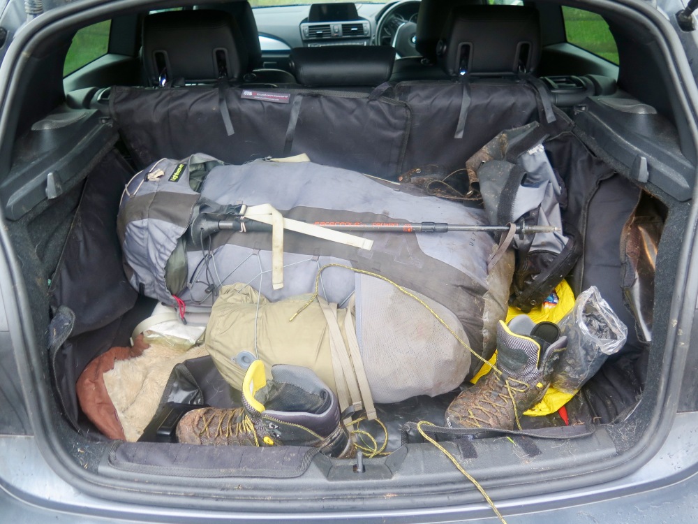
As I wasn’t sure if I was to get snow or get snowed on, so I packed kit for these possibilities. The kit included, Ski goggles, balaclava, 3 sets of gloves and an extra warm base later (Mountain equipment Eclipse Zip Tee) . I took the Hiiliberg Soulo as its more capable in Winter weather but could have taken the Enan in hindsight. I did pack micro spikes but left them in the car. I packed the fleecy sleeping bag liner as well which is a thing of sheer beauty and borders on a sexual delight..
Extra food was taken as I expected to burn more energy if snow was encountered.
I took one walking pole incase the ground was heavy with snow and as it wasn’t it wasn’t used.
The only water carried was in the Life Straw water bottle and water was drawn from streams (dribbles) on the summit to cook with. A hip flask of Port was carried and was demolished on the night.
I wore Mountain equipment gaiters for the whole trip and they were brilliant, they saved me a few times as plunged into the bog on many occasions. My only gripe with them was the zipper flew off on one gaiter so I had to rely on the velcro to keep them shut, which it did do. My Salewa alp trainer mid gtx were excellent, I can’t praise these boots enough.
I wore my Rab Vapour rise with nothing under it for the whole of day one, and despite the wet and cold It was perfect. Only on the return on day 2 did I put my Rab Mountain Dru water proof on as there was some drizzle, tbh it wasn’t needed and the Vapour rise was put on again once I was off the mountains. I never wore my gloves for both days.
The best bit of kit, the ViewRanger mapping software on a Samsung Galaxy Note 4, it cut through the cloud to pick up satellite signals and I felt reassured it would get me off the mountain. I carried 2 batteries for the Note and used both. I have decided to get a third battery so I have the added reassurance. The joy of panning between 1:25 and 1:50 mapping on the ViewRanger is truly great for navigation.
My rucksack weighed in at just under 40lbs.
Lessons learnt
- Not to assume tracks that lead off a right of way will allow access…
- Check the access to the start point off any route, if it had snowed my BMW 1 series wouldn’t have been able to get out of ystradfellte due to the steep route to the village.
- Make route cards in the possibility that the GPX will not work. I did use the map n compass for most of my navigation but did rely of the GPX too much. Route cards would have simplified the navigation when I had to plot my route with a compass.

Great write up Mark your the man well done pal
LikeLike